
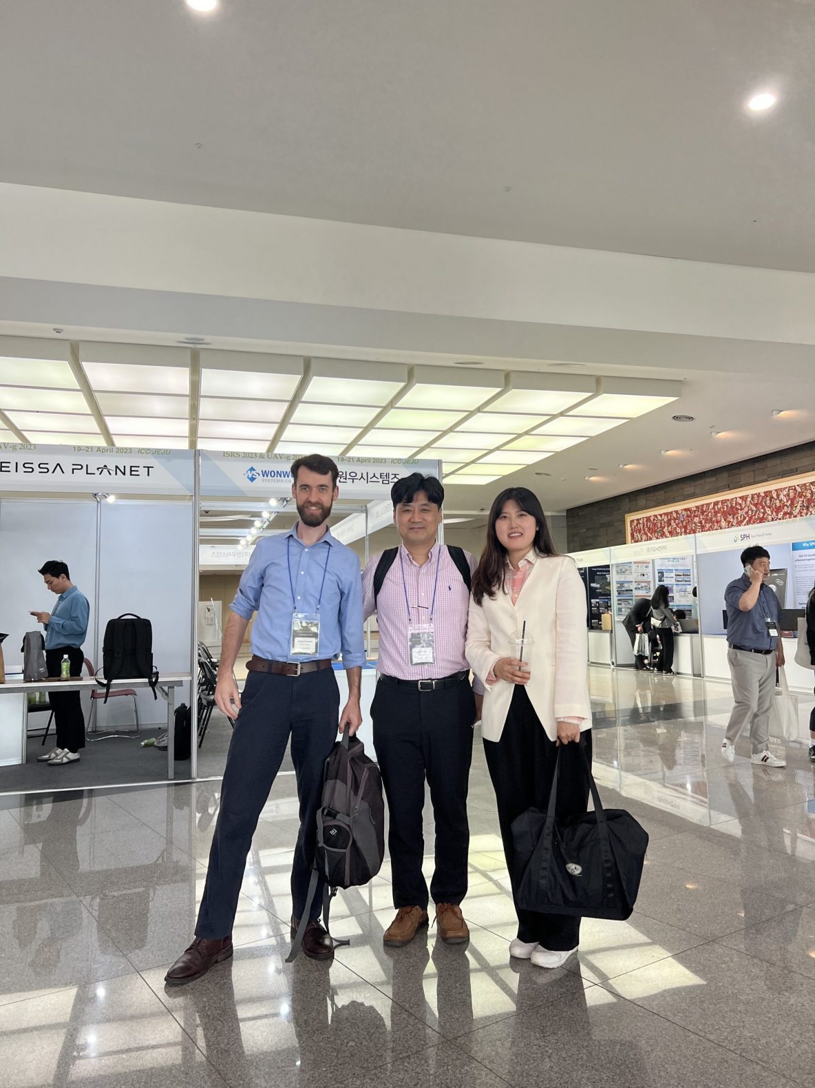
Sumi Lee and Joshua Carpenter presented their research at the International Symposium on Remote Sensing & Unmanned Aerial Vehicles in Geomatics 2023 conference.
GDSL @ Community Nature Day
GDSL members – Ismaila Olaniyi, Arnav Goel, and Hansae Kim – attended the Community Nature Day event hosted by the Student Chapter of Environmental Education at Purdue University. We planned to provide a hands-on demonstration of UAV LiDAR data acquisition, but due to the strong wind condition on the day of the event, we displayed our equipment and shared example …
College of Engineering & Agriculture Joint Poster Session
GDSL members presented their research at the joint poster session hosted by the College of Engineering & Agriculture on March 31, 2023. Joshua Carpenter Lena Azimi Hunsoo Song Ismaila Olaniyi Hansae Kim
GDSL goes to Weslaco Texas
GDSL members (Ismaila Olaniyi, Arnav Goel, and Hansae Kim) traveled to Weslaco, TX (March 15 – 18, 2023), to visit the Texas A&M AgriLife Research center for UAV data collection training. Special thanks to Dr. Juan Enciso’s research group at the Texas A&M AgriLife Research center for hosting our lab members. – Video recording and editing by Hansae –
2023 Purdue Digital Forestry Mini Symposium
GDSL members participated 2023 Purdue Digital Forestry Mini-Symposium and shared their research with members from diverse disciplines. All the presentations were very well received by the audience. Great job, GDSLers! A feasible way to improve Indiana’s LiDAR topographic differencing results by Minyoung Jung Estimation of Crop Residue using Synthetic Aperture Radar (SAR) by Fatemeh Azimi Inventory Plot Center Measurement with …
Sumi’s farewell luncheon
Travel safe and see you soon in Jeju, Sumi!
GDSL @ Honduras
Dr. Jung and Joshua from GDSL worked with Texas A&M AgriLife to provide UAS training for agriculture applications in Honduras on the week of Feb 6, 2023.
GDSL @ ISPLS 2023 Convention
GDSL members (Jinha Jung, Joshua Carpenter, and Ismaila Olaniyi) attended ISPLS 2023 convention at Fort Wayne, IN, to represent the Purdue Geomatics program.
Digitizing Martell – Continued
Work continues on our project to create a high-resolution, multi-temporal dataset of the entirety of Martell Forest. Our leaf-off data collection campaign kicked off this past January with two main objectives. First, we wanted to continue our seasonal UAV imagery collection of the entire forest. Second, we wanted to collect terrestrial laser scans at every forest inventory site. In March, Joshua …
Baseball with ISPLS NW Chapter
The North West chapter of the Indiana Society of Professional Land Surveyors invited the lab out to Gary Steel Yard for some Friday night baseball. We watched the South Shore Railcats play the visiting Sioux City Explorers. It was not a good night for the Railcats, but we thoroughly enjoyed the good food, good company, and relaxed atmosphere at the …