
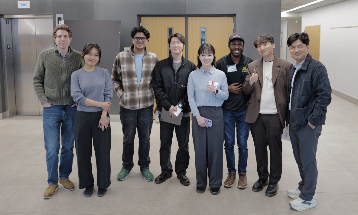
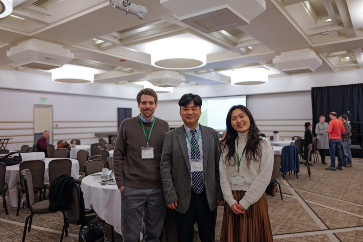
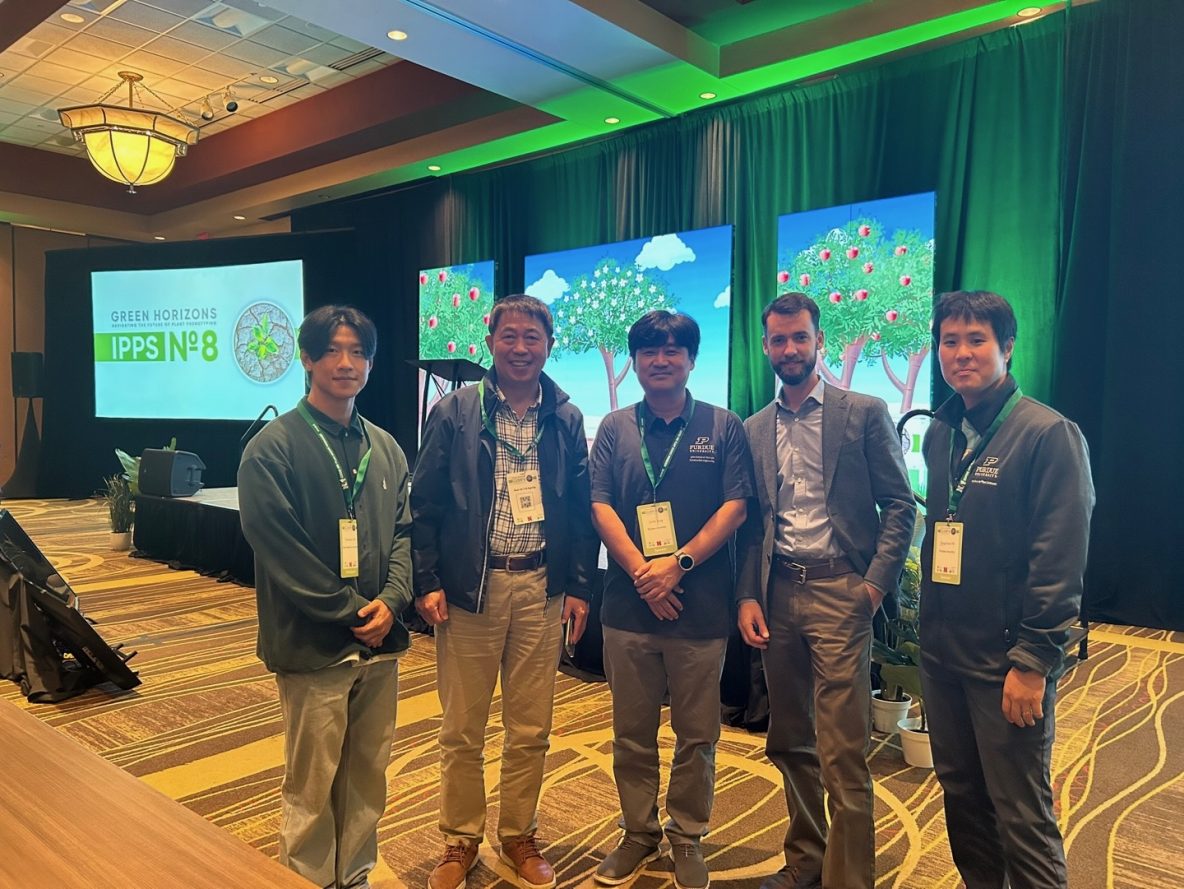
GDSL members were very well represented at the 2026 iDiF Mini Symposium (Feb 28, 2026).
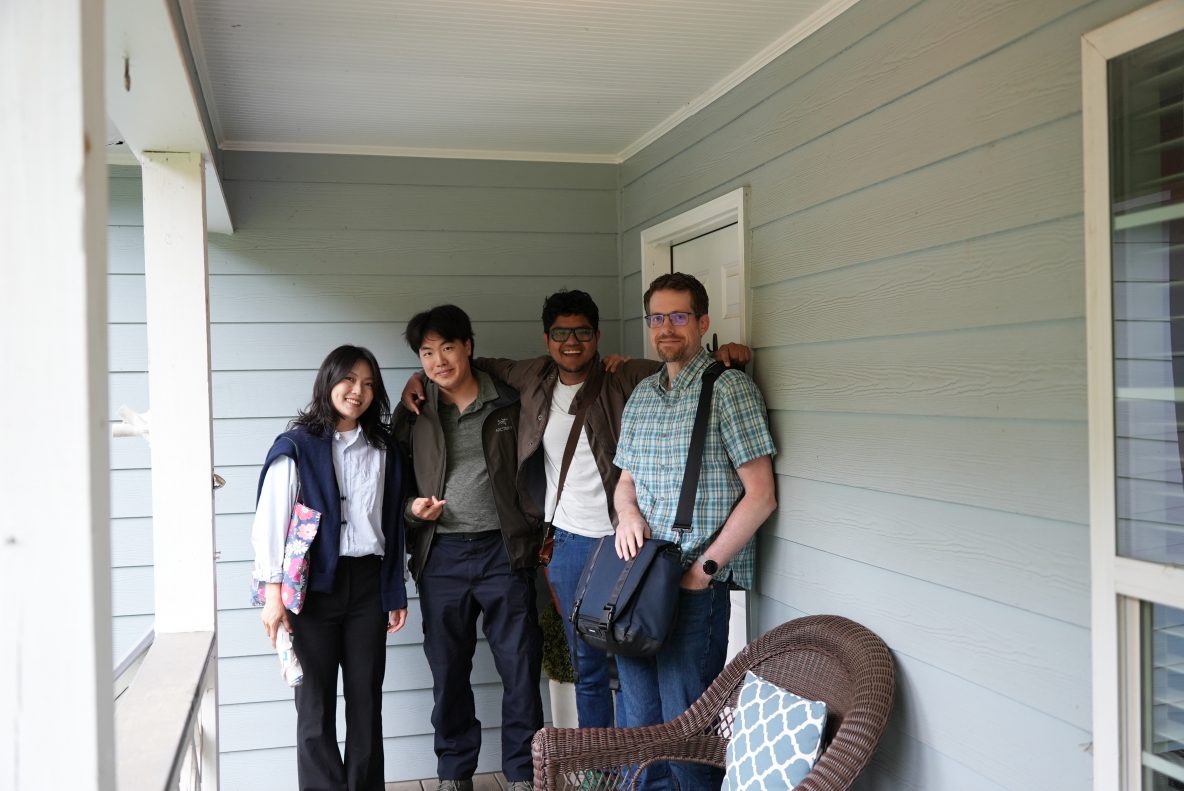
Farewell for Jihee and Taeseok
Sorry to say goodbye to Jihee and Taeseok. Best of luck and hope to have another cross in our path in the future.
GDSL Members Graduation
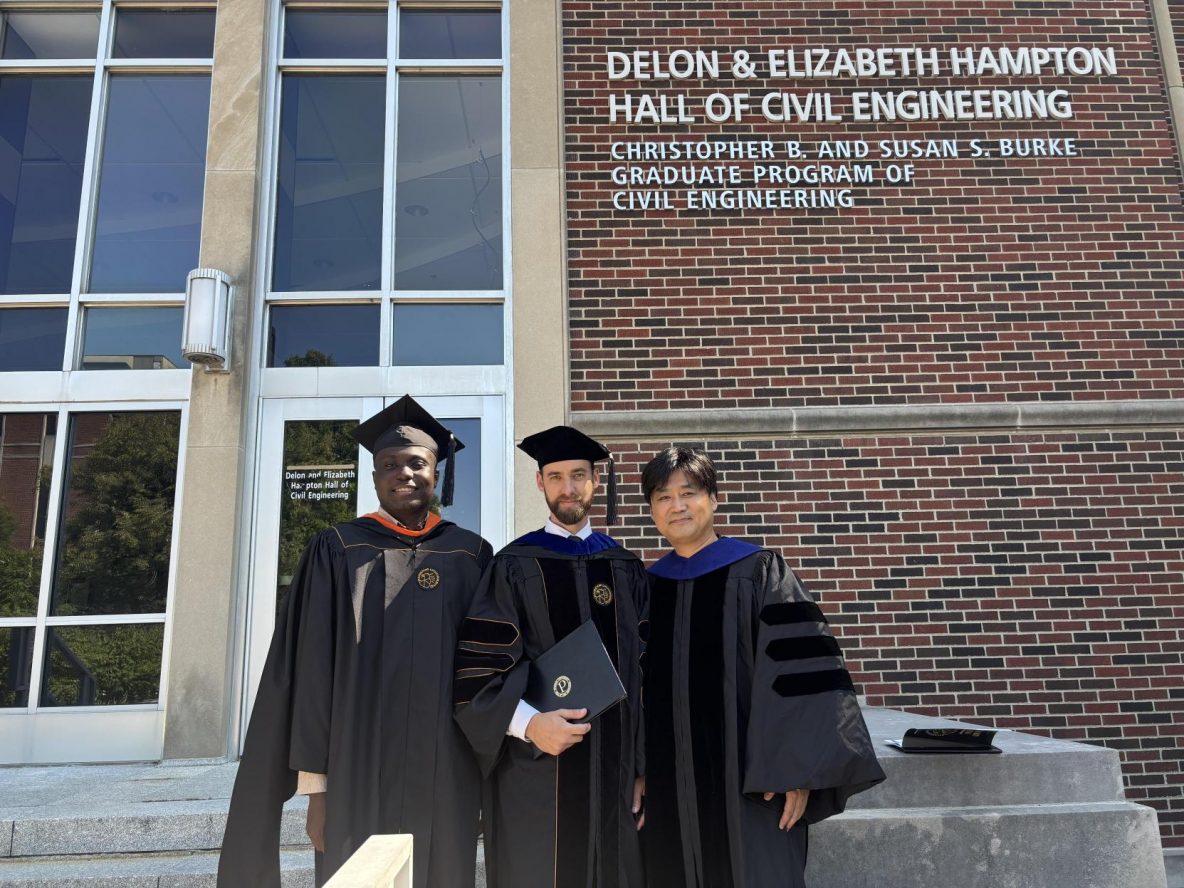
Four members from GDSL graduated this year. Yoenjae, Emmanuel, and Kofi graduated with an MS degree in Civil Engineering, and Joshua graduated with a PhD degree in Civil Engineering.
2025 PERSEUS UGA Meeting
May 11, 2025 – Travel to Athens, GA May 12, 2025 – UAS Workshop May 13, 2025 – PERSEUS Meeting & AI Conference May 14, 2025 – Field Trip and PERSEUS Meeting May 15, 2025 – Travel Back to West Lafayette
Digitizing Martell – Continued
Work continues on our project to create a high-resolution, multi-temporal dataset of the entirety of Martell Forest. Our leaf-off data collection campaign kicked off this past January with two main objectives. First, we wanted to continue our seasonal UAV imagery collection of the entire forest. Second, we wanted to collect terrestrial laser scans at every forest inventory site. In March, Joshua …
Baseball with ISPLS NW Chapter
The North West chapter of the Indiana Society of Professional Land Surveyors invited the lab out to Gary Steel Yard for some Friday night baseball. We watched the South Shore Railcats play the visiting Sioux City Explorers. It was not a good night for the Railcats, but we thoroughly enjoyed the good food, good company, and relaxed atmosphere at the …